
Google Maps, Waze or Yanosik: which navigation app is best for taxi drivers in Poland?
For a city taxi shift, we would choose Waze with the Taxi profile. It can account for access permitted to taxis and helps you quickly choose an alternative route. Google Maps is useful for finding the right entrance and driving without an internet connection. Yanosik can provide additional alerts in the background.
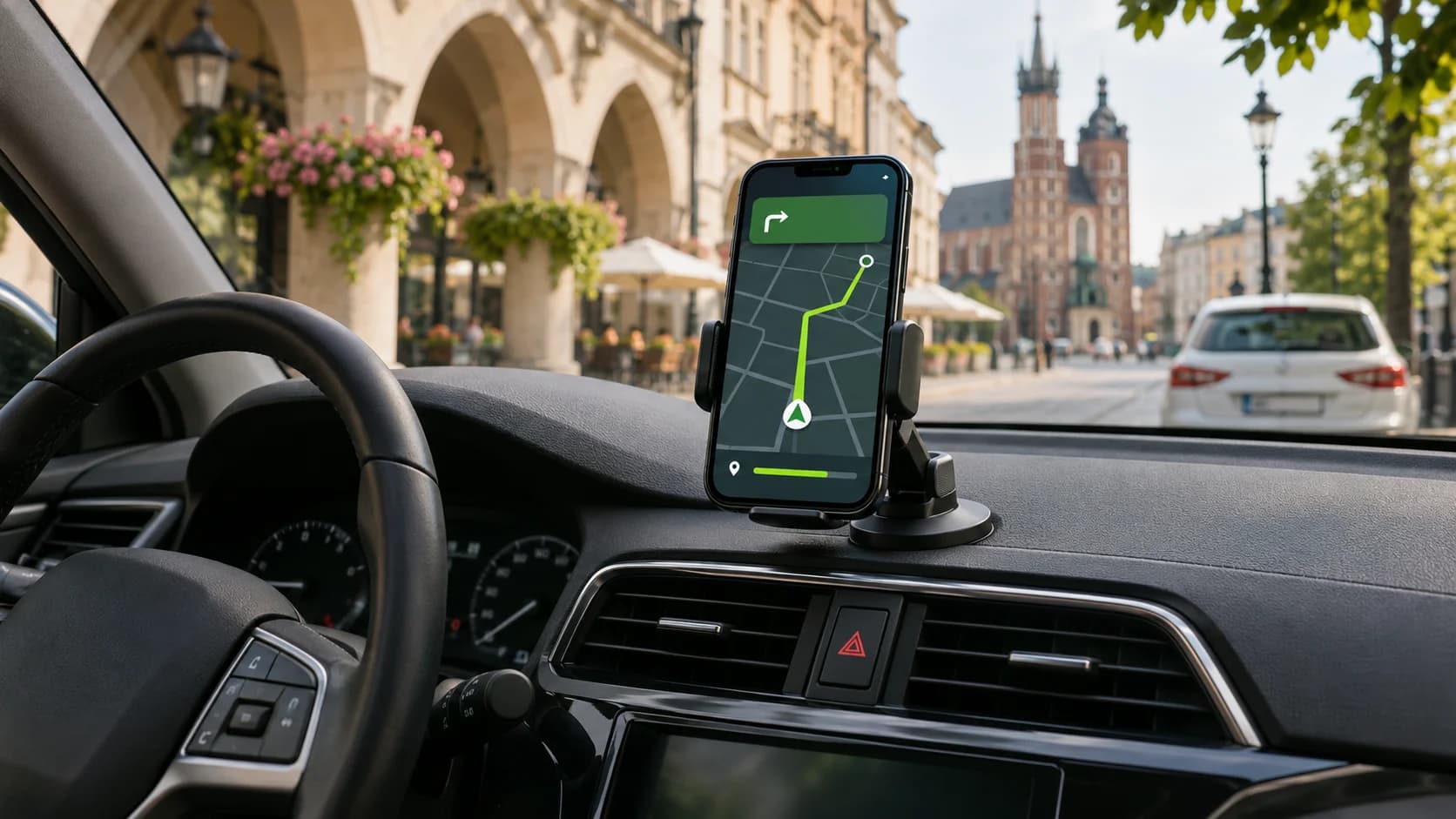
A comparison by driver task
| Task | Waze | Google Maps | Yanosik |
|---|---|---|---|
| Access permitted to taxis | The Taxi profile accounts for exemptions recorded on the map | Standard driving route | Standard driving route |
| Roadworks and closures | Planned closures and driver reports | Partner data and some Waze reports | Reports of traffic disruption |
| Alternatives in traffic jams | A dedicated button for alternative routes during a trip | Options on the map and a voice prompt | Routes that use Yanosik Traffic data |
| Finding the right entrance | Place or address search | Search and Street View panoramas | Search on the online map |
| Driving when the internet connection drops | A connection is needed for full navigation | Routing using a downloaded map | A connection is needed for online navigation |
Restricted access: what the Waze Taxi profile can do
Open Ustawienia → Szczegóły pojazdu → Typ pojazdu → Taxi. Waze uses the selected vehicle type when calculating your route and arrival time. The map editor allows restrictions to be set for an entire road segment or an individual turn, taking account of vehicle type, direction, days and times. If a taxi exemption is entered correctly, Waze may suggest a route that is unavailable to a regular car.
An example from Kraków. The city centre has restricted traffic zones marked with the B-1 sign. The city lists taxis among the possible exemptions and describes such zones in Kazimierz around Plac Nowy, among other places. At each entrance, check the plate below the sign. It determines whether the exemption applies at that particular location.
A street that permits taxis and a separate bus lane require different data. The Polish Waze guide describes rules for entire road segments and individual turns. For these restrictions, it instructs editors to select the whole segment, without dividing it into lanes. For a separate bus lane alongside regular lanes, therefore, follow its signs, supplementary plates and road markings. If restrictions apply at certain times, check the hours as well.
What will Google Maps show? The app displays a driving route and may account for a restriction or closure it knows about. The standard app has no Taxi switch for drivers, so you cannot indicate that a local exemption applies to your vehicle. If a street is open to licensed taxis, Google Maps may suggest a detour as it would for a regular car.
If Waze regularly routes you around an entrance you are allowed to use or suggests a prohibited turn, submit a report through Problem z mapą. The street, direction of travel and conditions shown on the supplementary plate are useful to the editor. This is a request to check the map. For a temporary full closure, use the separate Zamknięcia report.
Which app will show roadworks or a closure first?
A street closes unexpectedly. If you reach a barrier and, from a safe place, submit a report in Waze through Zamknięcia, the app will immediately exclude the closed segment from your route. Other drivers will see the closure after confirmation from the community. The feature is available on phones, Android Auto and Apple CarPlay.
Roadworks are planned in advance. Waze partners can specify the dates, hours and direction of a closure. Waze displays a planned closure while it is in effect, and a live closure entered by a partner appears immediately. Google Maps also accepts planned data directly from its partners, while closure information and some traffic incident reports can reach both apps through Waze.
An editorial test by Polish taxi partner Avalon Logistics across six metropolitan areas rated detours highly in both apps and noted that Waze suggests route changes more often. The test did not measure how quickly the same closure appeared in each app. For planned roadworks in Łódź, you can check the timing, extent of the closure and permitted direction in advance on the city's roadworks map.
Alternative routes, pickup time and distance
Both apps use current traffic conditions and can suggest another route. In Waze, you can open a list of alternatives using a dedicated button after navigation has started. If Waze suggests a detour itself, the driver can accept it or stay on the current route. Google Maps displays available options on the map and announces a more suitable route by voice.
When heading to a pickup, compare the time to the actual entrance you need. If one route takes you to the correct side of the street while another requires a U-turn or another loop around the block, the difference on screen may be misleading. With a passenger on board, compare the estimated time, distance and complexity of the detour. For a small difference in the estimate, it is often more convenient to stay on a familiar main road, especially if the alternative adds several turns through narrow streets.
For a booking at a specific time, you can plan your departure in advance in Waze.
Where Google Maps and Yanosik are more useful
Google Maps for finding an entrance. If the booking specifies a hotel, station or clinic, you can search for the building by name and check the approach in Street View beforehand. Compare the panorama with the booking's pickup point and current road markings. For example, vehicle access to Łódź Fabryczna station is from the east. At Warsaw Chopin Airport, check the meeting point for an Uber booking in the Uber app itself, as the terminal's general address may lead to a different part of the complex.
Google Maps for trips with stops and without a connection. Google Maps lets you add up to nine destinations, including the final address; Waze allows one intermediate stop. For a booking with several addresses, keep the sequence in the ride-hailing app. On suburban or intercity trips, a Google map downloaded in advance can help if you lose your internet connection, provided the entire route is within the downloaded area. In a tunnel or underground car park, you may also lose the GPS signal.
Yanosik for additional alerts. The app has its own online navigation and Yanosik Traffic data. During a shift, you can use it for voice alerts about accidents, traffic disruption and cameras while the booking or another navigation app is on screen. If alerts stop in the background, check location permissions and power-saving settings. The free version includes audio advertising. If Bolt Driver starts missing notifications or freezing when used alongside other apps, check how it works with background apps turned off.
How to choose a navigation app in Uber, Bolt and Freenow
- Uber Driver. Open Konto → Ustawienia aplikacji → Nawigacja and choose a third-party navigation app from the available options. The navigation button in the booking will open your chosen app.
- Bolt Driver. Built-in navigation to the pickup point is available. If you prefer an external navigation app, check the available options in the settings of your version of Bolt Driver.
- Freenow Driver. Google Maps is used by default. Install Waze and select Ustawienia → Nawigacja → Waze. The navigation app will open with the destination already entered.
How to test a navigation app during your shift
Plan a route in both apps from the same starting point to the same pickup location. Enable Taxi in Waze and use driving mode in Google Maps. Note whether the app takes you to an entrance you are allowed to use, how long it takes to reach the pickup and how many kilometres a detour adds. When there are roadworks, separately record when the app shows the closure and when it removes the closed segment from the route.
Would you like to start working with Uber, Bolt or Freenow, or find a car for taxi work in Poland? Contact GCAR Partner.